RECORD STORE TALES #1245: By-Tor and the Snow Dog(s) at the Lake
It so happens that our weekend at the lake, June 4 to 7 2026, coincided with the opening of Rush’s 50th Anniversary tour. New drummer Anika Nilles had nothing to prove, but still silenced the doubters. It is wonderful to see Rush, aging but still capable, taking the stage to “Xanadu” of all songs. In the world of live rock, it is often the drummer who falls first. The taxing job is hard on any mortal, let alone Neil Peart. When it was too painful for him to continue, Rush called it a day. Sadly, Neil was gone soon after. Now, after a respectful five year mourning period, Rush have returned. If they don’t record this for a live album, they would be making a mistake.
As much as Sunday was about Rush (you can hear people saying “Oh my God!” during the opener), our drive up to the lake on Thursday night was about Kiss. I had to prepare for our “Top Ten Kiss Songs Not About Love” show. Since I picked one song from the Creatures of the Night album, I decided to put on the Creatures box set. We put on the two live discs and listened to a set of some of Kiss’ most awesome music, including the rarely played “Keep Me Coming”. Kiss sounded great on that tour, and Vinnie Vincent was a much better fit than Mark St. John (whose Poughkeepsie live disc we played on the way home.) What made me laugh out loud was Paul’s intro to “Love Gun”. Obviously that song wasn’t going to make my list, but this version definitely wasn’t! Paul was telling the story, this time about going through an airport metal detector. Guess what – Paul set off the detector, and a hot female security guard (of course!) came to pat him down. “Before I knew it, she was holding onto my…” teased Paul. This is usually where he gets the audience to shout “LOVE GUN!” But this time, Paul says, “She was holding onto my COCK!” I nearly spit out my coffee. These shows that were never released as official live albums before are definitely uncensored. A lot of “fucks” and a lot of “fucking”. Jen asked if Paul usually swore so much. Not on the usual releases anyway! Kiss were certainly not a subtle or intelligent band on stage, though they got less stupid as time went on. As much as we enjoyed the music, there is no better word than “cringe” to describe some of Paul’s song intros!
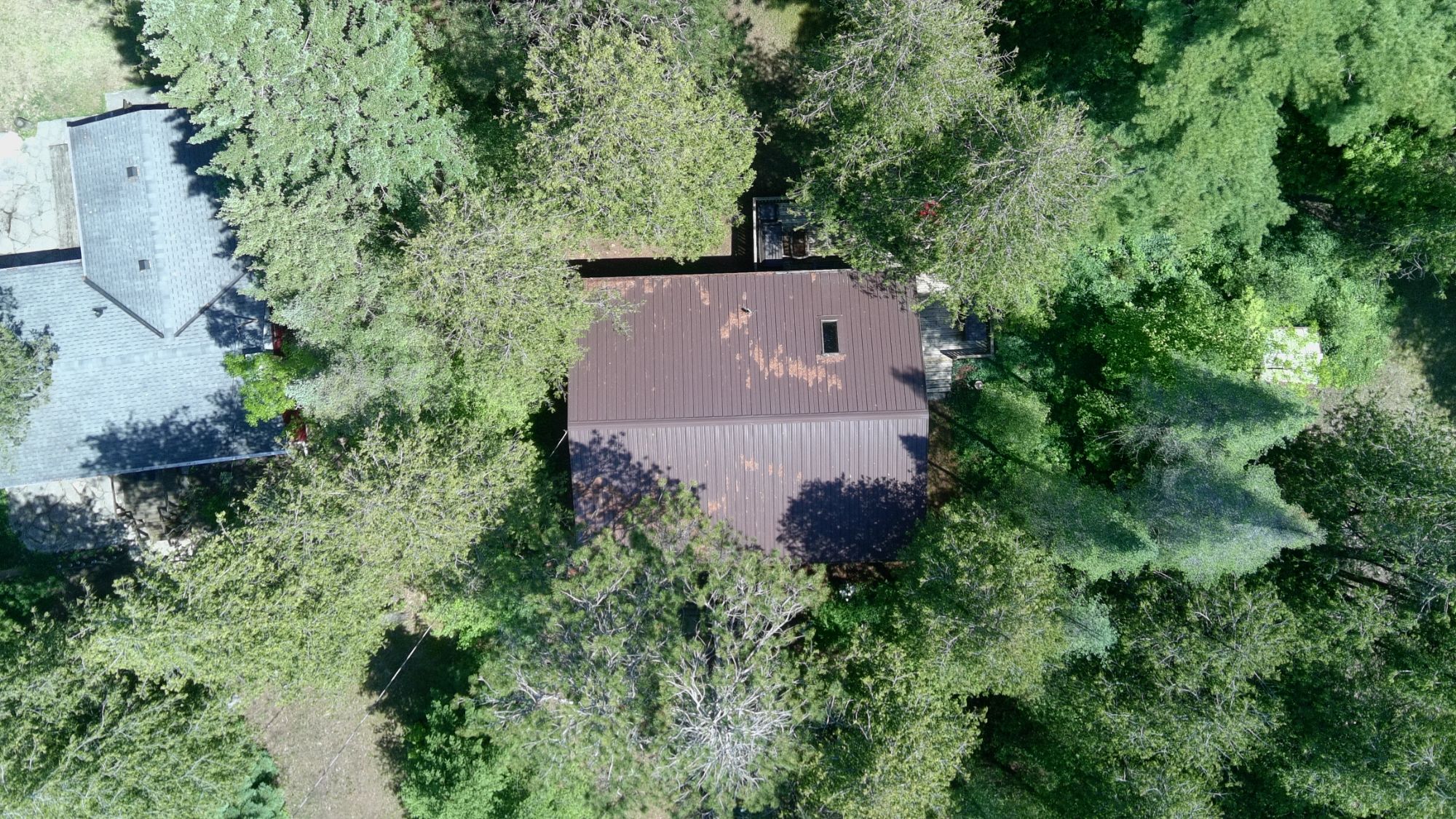
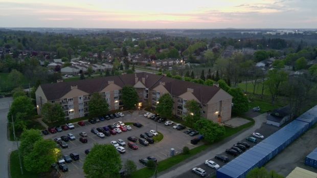
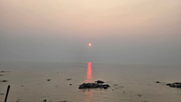
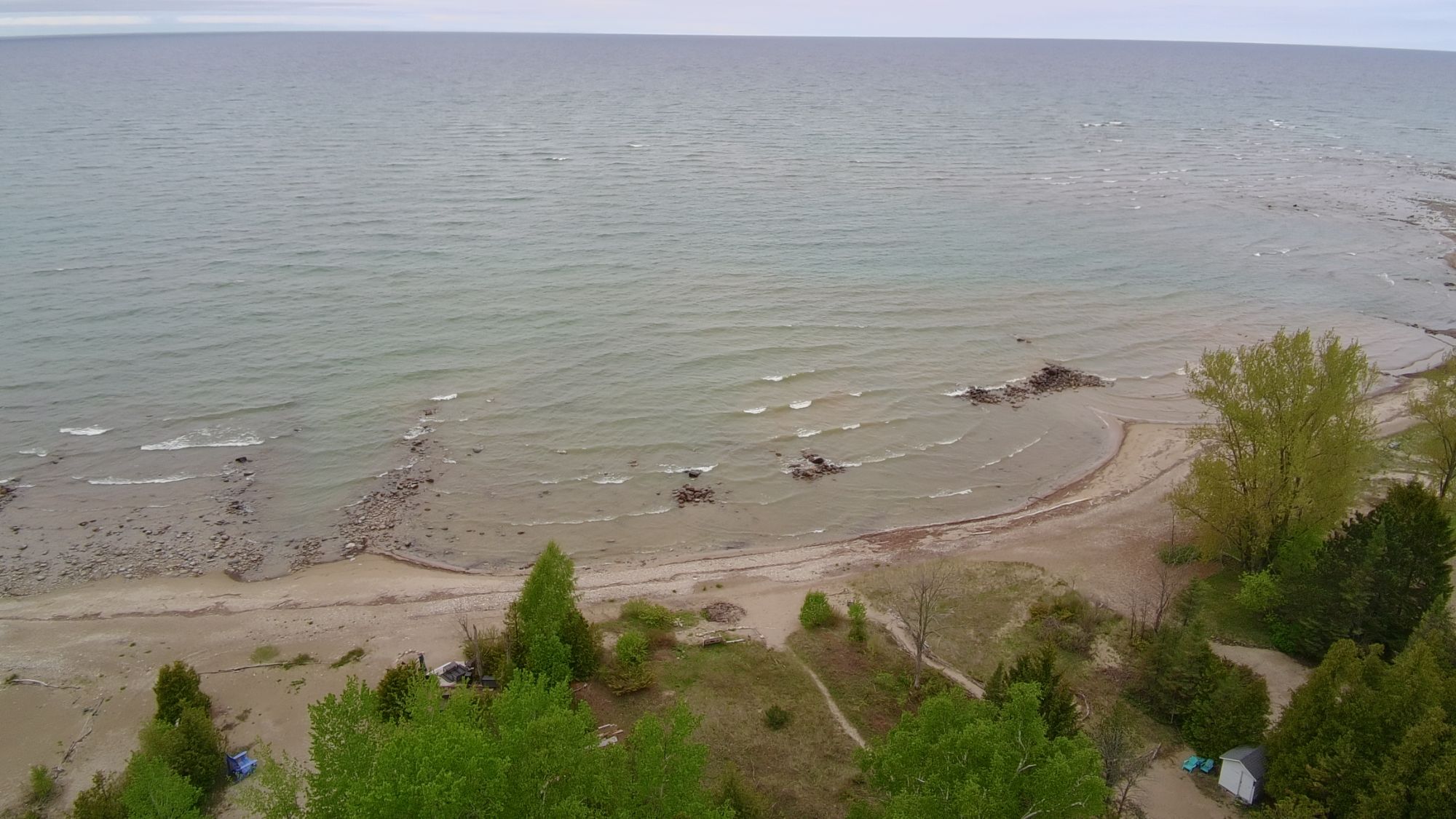
We got to the lake in good time, unpacked my new drone, assorted drinks, and settled onto the front porch. The first song was “Next Summer” by Arkells. I took the drone up for a sunset flight. As usual, all my drone videos are set to music, and the following morning I edited a quick but beautiful clip to the tune of “Cover My Eyes” by Marillion. Finding a track of the right length is usually the trick.
Marillion – “Cover My Eyes”
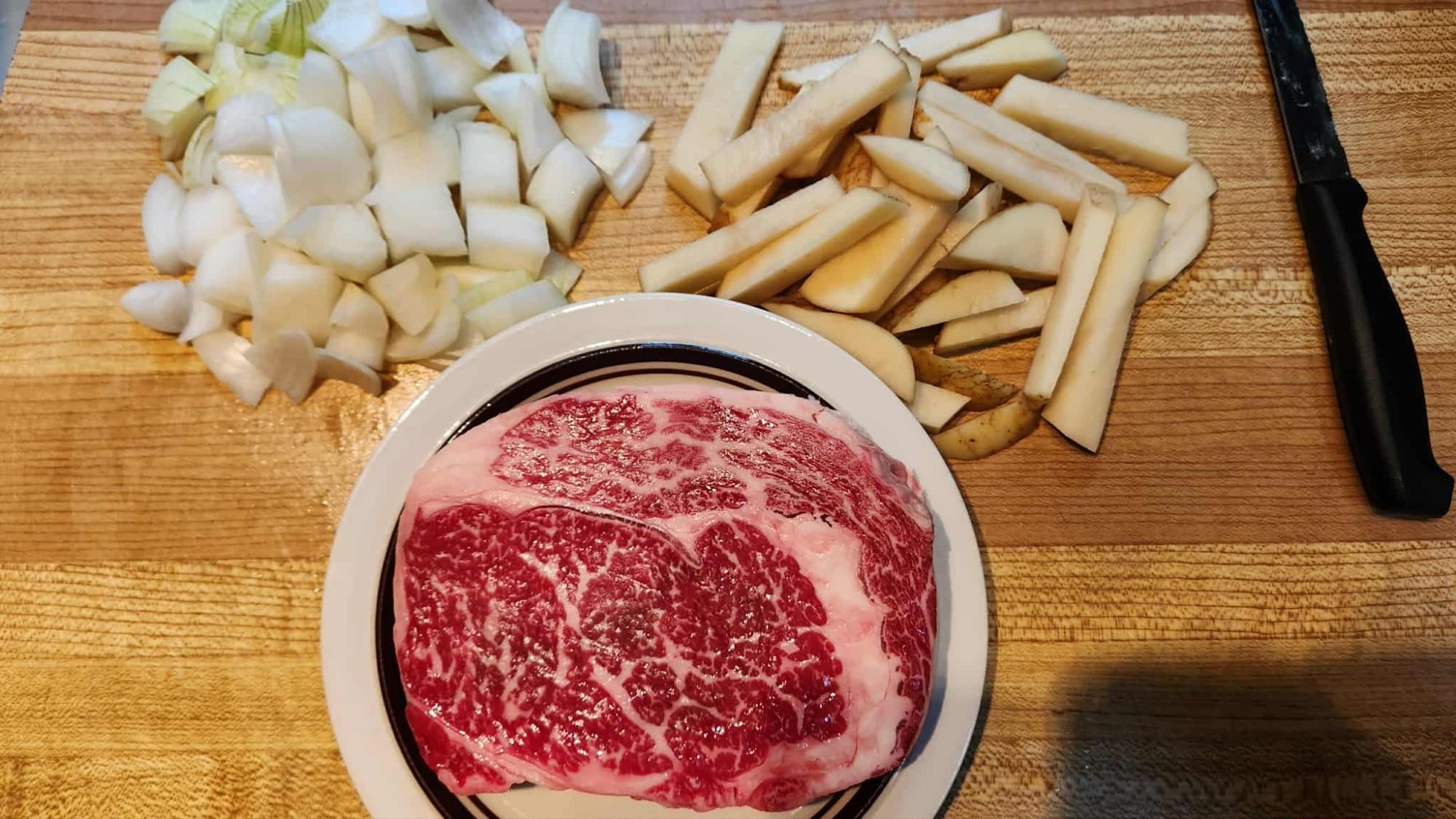
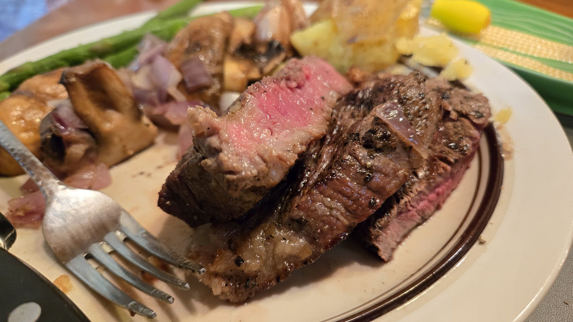
I had a few goals as usual this weekend. One of them, for a change, was not to cook too much. As a new tradition, we’re grabbing Friday’s lunch at the Cheesy Monkii up by the airport where our butcher, The Beefway, also resides. I had their panko-crusted cheese curd tacos. A revelation. This summer we want to cook less to give me a rest, and eat local.
We did a great show on Friday afternoon, in the old 3:00 timeslot. This is the old slot once cohosted by MarriedandHeels, then Jex Russell, and finally Johnny Metal. When it became clear that I could use this afternoon slot with Johnny again, he suggested Kiss as the topic. Perfect! It was our 150th episode, so Kiss seemed like the topic to tackle. My favourite band, and ignored on the show far too often. Joining us was Sidney Cini from Slogan’s Rock and Metal Extravaganza, who asked if he could join but wasn’t certain until Friday. Sidney was on his best behaviour as promised! Together we rocked a solid hour of Kiss and it was a show I’m proud of!
Top Ten KISS Songs Not About “Love”
I had a few goals this weekend as far as video goes. I continue to marvel at what we can make today with just the average cameras and laptops that everybody has these days. If the year was 1986, I would have wanted to document everything! I was talking to my mom about this on the weekend. All she remembers was me being in my room all the time. I won’t deny that, but what my mom doesn’t understand is the musical connections. If I had a camera in 1986, I’d be able to document so many moments. I was collecting Kiss. I heard Animalize Live for the first time that summer. I loved sitting in my room, undisturbed, listening to tapes and reading comic books and rock magazines. I always had something to read, and listen to, in my room. Her point was all the outdoor stuff that I missed out, that I am catching up on right now. That doesn’t change the importance of that time in the bedroom. Often I would lie with headphones on, on the top bunk, and just watch people go by while listening to my newest music.
It’s different when you’re a kid, loving that music. It’s a solitary time. It’s not anymore. Now mom and dad stay home on the weekends Jen and I are at the lake. And so I bring the laptop out onto the porch, and listen to music. Sometimes it’s Kiss, or Black Sabbath. Others it’s jazz, or Blue Rodeo. The last few weeks, it has been Angine de Poitrine.
We don’t need to go over Angine de Poitrine, the most polarizing new band in ages. Dee Snider says he’d rather listen to Jon Bon Jovi in 2026 than Angine de Poitrine. Those who don’t get it, really don’t get it. All I can say is that there is something hypnotic about that music. I love it and I wear their shirt proudly.
Angine de Poitrine – “Sarniezz” Live excerpt
This summer I am returning to toy animation. One manic July weekend in 2012, I shot an entire 45 minute “movie” using my Transformers toys and set to heavy metal music. I’d never do that again; it was far too much time and work all crammed into a single weekend. I always try to maximize my time at the cottage, but that pushed it. This summer, I’m creating brief animated vignettes, like the one above. Then, something strange happened. While looking at my 2026 animation, the 2012 animated movie, and all the others that I made but never released, I realized everything could fit together into one larger narrative. That is edited and will be released later this summer, but I continue to animate. There will be the full length animated film made up of past and present footage called Transformers Revisited, and new vignettes as I add onto the story today.
Lots artistically accomplished, and time well spent. The weekend would not be complete without some beach dogs.
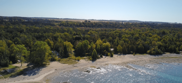
The second drone video of the weekend was in honour of Rush, and three of our beach’s best dogs. They are Daisi, Molli and Alfie (Lord Alfred), and they posed for some video action. It turns out that little Alfie, the newest of the bunch, is a ham for the camera!
Rush – “By-Tor and the Snow Dog”
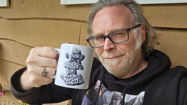
Feeling a little extra energetic, I really managed to pack in a lot of creative work. I recorded an entire bonus episode of Grab A Stack of Rock, which will debut in the coming weeks. As Harrison takes a break, I need to fill the gap. The bonus episode that is coming will hopefully be of interest. If it’s not, well…I tried! And I like what I completed. So even if you don’t, I do, and ultimately that’s the goal.
I made one final video before we left for home. Jen got some Harry Potter colour-changing hot chocolate, so we did a quick taste test. Yes, it really does change colour as soon as you add hot water! And it tasted good too. I tried “Hufflepuff” flavour, which turns an orange-yellow and tastes of citrus. I quite liked it, even if Jen says she’ll stick to her coffee!
Leaving for home never gets easier, though it was mitigated with more Kiss on the drive back. Listening to the music that only reminds me of better days is one way to help ease that transition back home. Until next time…when we look forward to more adventures in the cottage in the woods.